
Walk A Boise Street By Address
A street directory search in Boise should separate ownership, recorded parties, city activity, and dated household evidence. Preserve the full input first: number, direction, street type, unit, municipality, and ZIP. Ada County's address layer can normalize those parts and connect the point to a parcel. The assessor supplies assessed-property context. The recorder supplies filed instruments. Boise Accela adds public permits and code cases, while a cross-reference directory can show who appeared at the address in a stated year.
Follow the same site through the records. Do not begin with a guessed person's name.
- Normalize the address with Ada County GIS and note its grid, ZIP4 value, and local identifier where shown.
- Open the assessor parcel and save the parcel number, situs address, subdivision, and tax-year context.
- Carry the parcel into the Recorder index and inspect party roles, dates, document type, and legal description.
- Search Boise Accela by the same street parts for published building or code activity.
- For an earlier household, select a dated criss-cross volume at Boise Public Library.
Normalize Boise Street Directory Inputs
Ada County's queryable address-point layer breaks a location into useful fields. It includes primary address, secondary-unit labels, `Zip4`, `AddGrid`, `LocalID`, commercial name, state, photo, and comments. The street number is not enough when a building has units or a road crosses more than one jurisdiction. A clean, complete input reduces false matches in the assessor and Accela.
The Ada County street naming and addressing page explains the public authority behind those labels.
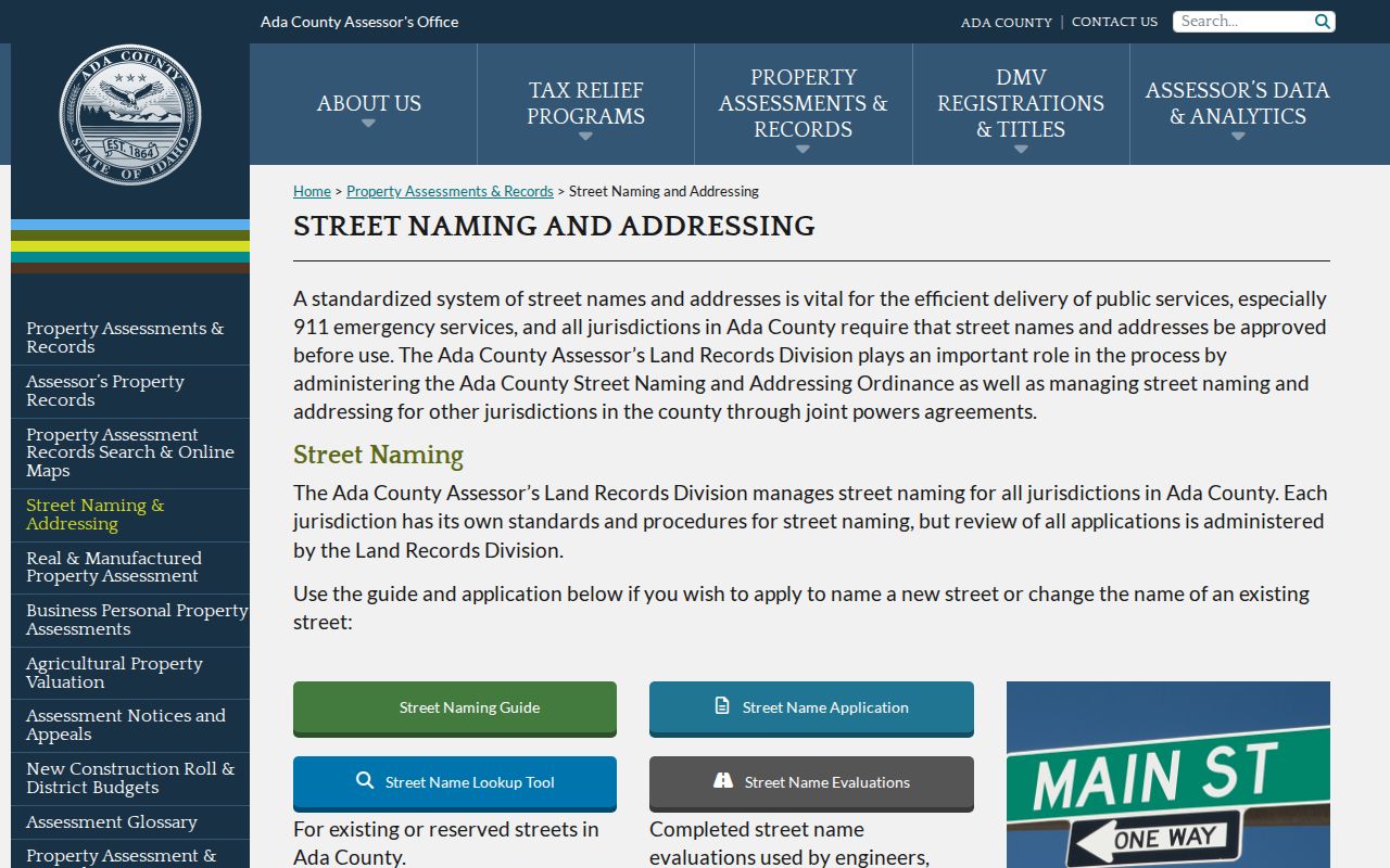
The county page is especially useful when a directional prefix, parity change, private access, or grid assignment makes a number seem wrong.
Four Grids Shape Boise Addresses
Ada County uses four numbering grids, each with its own zero point. This local geography can make a sound address look inconsistent across a plat, old directory, and current map. County land records staff assign or correct addresses for unincorporated Ada County and participating cities, while Boise proper has its own role. New subdivision and condominium addresses follow a recorded final plat.
A county address decision can be appealed within 30 days. For historical work, compare the modern parcel with final plats, surveys, corner records, and Sanborn maps. Annexation matters too. Ada's city-limits layer is maintained for tax-code boundaries, while Boise GIS emphasizes city and area-of-impact services.
The Boise Meridian adds another local layer. Its 1867 initial point anchors the township, range, and section language still used by recorder, survey, and assessor systems. A legal description can therefore identify the same land when the street number has changed. If a current parcel does not align with an older description, search the Ada corner-record map for instrument or township-range-section context. Results can identify a surveyor, recording date, PDF, and conflict comments that help explain the mismatch.
Note: A Boise mailing label does not prove that the parcel is within Boise city limits.
Ada Parcel Fields By Street
The assessor and GIS form the core of a modern Boise street directory. A parcel is a mapped assessment unit. The situs address is the physical site, while a mailing address is where notices go. A plat is a recorded map that lays out lots and streets. These terms prevent a name in one field from being mistaken for an occupant.
| Field or layer | Type | Street-directory use |
|---|---|---|
| ADDRESS, PROPADDNUM, PROPSTNM | Situs components | Match the physical site by address |
| PARCEL | Identifier | Carry the exact land unit into other records |
| LEGAL1 to LEGAL5 | Legal description | Compare the parcel with a deed or plat |
| SUBNM, ZONING, CODEAREA | Map context | Place the lot in subdivision and tax geography |
| PMParcel and reference fields | History clues | Check for prior identifiers or parcel changes |
The public property portal sits behind terms acceptance and recaptcha. If it fails, call the Ada County Assessor at 208-287-7200 or visit 190 E Front Street, Suite 107.
Boise Street Records And Their Reach
Each Boise by-address source answers a narrow question. Chain them with the parcel number and full street label, but retain the limits shown below. The voter tool is an individual identity check and is not a public block roll.
| Record Set | Keeper | What It Shows | Access |
|---|---|---|---|
| Property assessment | Ada County Assessor | Parcel, situs, assessment, owner context | Portal, GIS, phone, office |
| Address and parcel GIS | Ada County | Address point, parcel, subdivision, city limits | Public viewer and map service |
| Recorded instruments | Ada County Clerk/Recorder | Parties, dates, deed and lien index links | Free index; copy or counter |
| Building and code activity | City of Boise | Published site records and named roles | Accela or written request |
| Historical address directories | Boise Public Library | Dated household or subscriber entry | Third-floor volumes and staff lookup |
Online access is only one channel. Recorder staff can supply blocked or older material by email or at 200 W Front Street, Room 1207. A City Clerk request reaches unpublished permit and map records. Boise Public Library and Idaho State Archives carry the trail before web coverage.
Recorder Deeds Along Boise Streets
The Ada County Recorder portal accepts parcel, both names, grantor, grantee, recording dates, instrument number, book and page, document type, and legal section-township-range. A grantor transfers an interest; a grantee receives one. The index displayed January 1, 1982 through August 9, 2026 during inspection and said it updates nightly on weekdays.
That online range is a practical dividing line, not the beginning of Ada County deeds. For older Boise records, ask about books or microfilm and check archives catalogs. An index entry is like a card catalog. Obtain the document when legal description, party role, or certification matters.
Exact-name search uses last name first without punctuation. Sounds-like and wildcard tools help with variants. Corner-record searches have their own quirk: township, range, and section use a compact form such as `3N2E1`, not `3N2E01`.
Boise Permits By Street Address
The Boise Accela Building search can connect a site to published city activity. Visible fields include record number, type, status, date range, first and last name, project name, street-number range, direction, street name and type, and parcel number. A detail may show the record status, site, project, responsible-party labels, documents, related records, and inspections.
The source screen shows the street and parcel controls used for the search.
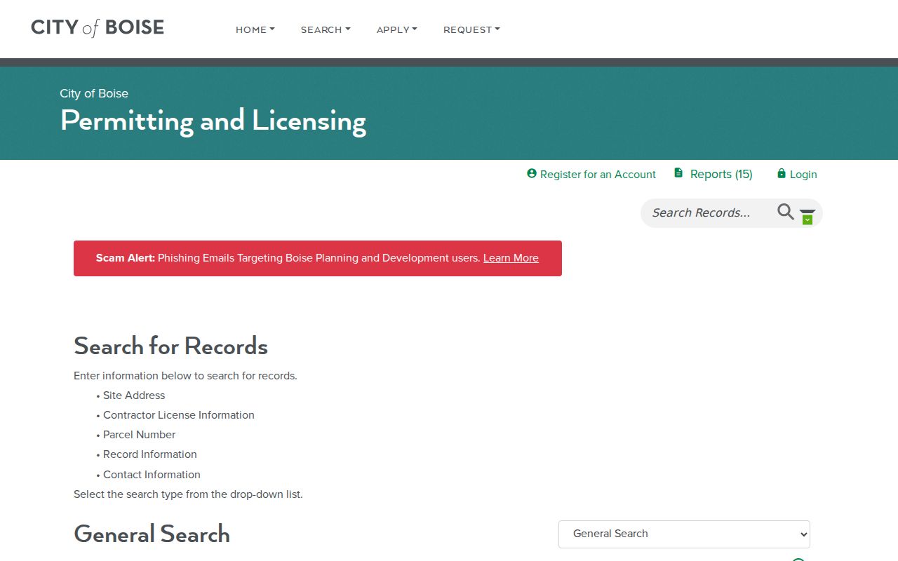
Treat every name according to its label. An applicant, contractor, or responsible party is not proof of who lives at the site.
Older Boise Code Cases
The Accela Code Compliance search repeats the address, name, record, and date family. It defaults to a 90-day date range. Remove the Start Date to look for older public activity at a Boise address. The portal can also warn when the site lies outside city limits, a useful prompt to recheck county geography.
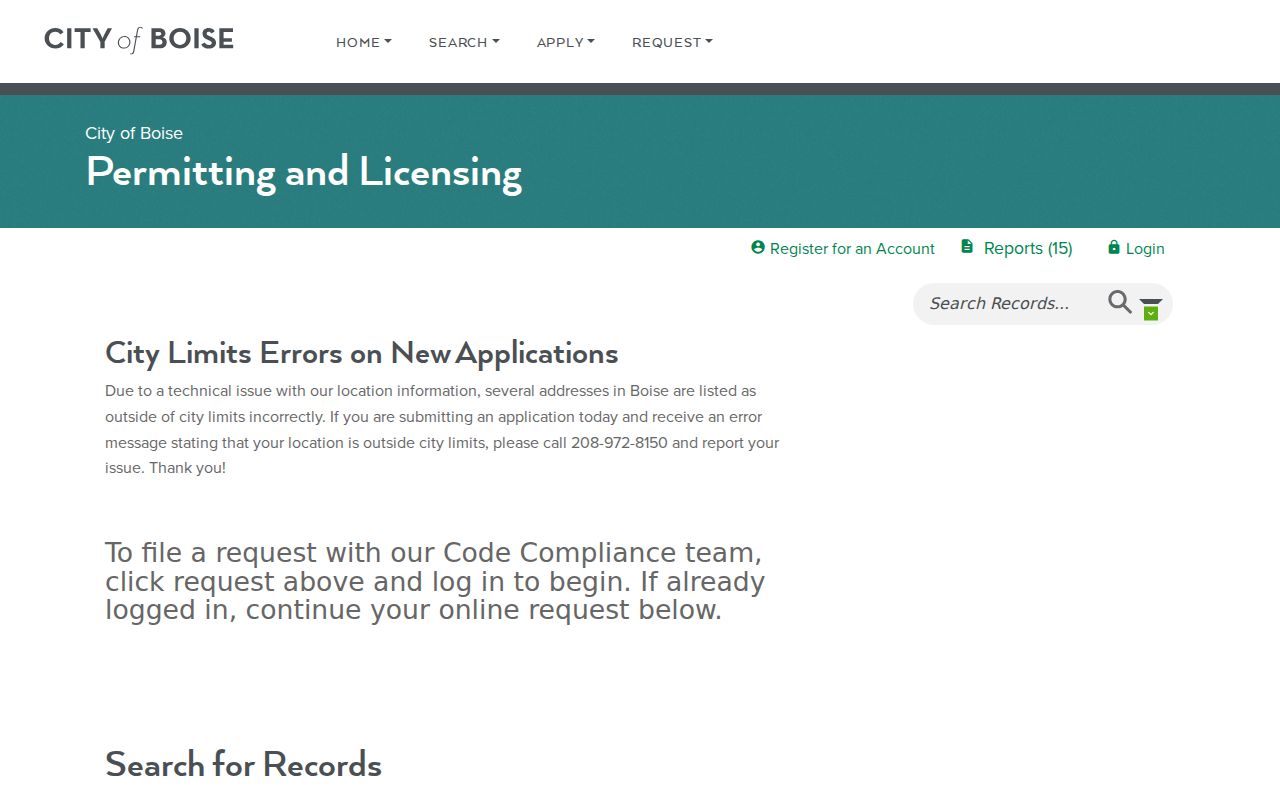
The expanded date range can reveal site activity that a default search hides, but it still does not identify current occupants.
If the portal omits needed records, send a precise request to CityClerk@CityOfBoise.org or call 208-972-8150. Include the full address, date range, and record type.
Boise Cross-Reference Street Directory
For past households, Boise Public Library holds Polk directories from 1891 onward, telephone books from 1948 onward, and Hill-Donnelly cross-reference runs. A criss-cross directory is organized by address, letting a researcher move down a street rather than start with a surname. The library's downtown third floor holds the collection and staff can perform limited paid lookups.
This street directory page uses that shelf only as the historical handoff. The Boise city directory collection explains publication runs, entry abbreviations, newspapers, and archives in depth. When an older number fails, pair the volume with a Sanborn map, plat, or city-limit map before deciding the household moved.
A dated directory line can be strengthened with a nearby census year, an Idaho Statesman notice, and a Sanborn sheet. Keep the directory year and publisher in the citation. That prevents a past subscriber from being presented as a current resident. Boise City Archives and Idaho State Archives are the fallback when a volume, map, or older street label is not available through the library's public shelf.
ZIP Is A Boise Street Check
USPS ZIP and mailing-city labels serve delivery. They are not municipal boundaries. Census ZIP Code Tabulation Areas are generalized 2020 polygons and are not current carrier routes. Use the USPS address lookup to validate delivery information, then check Ada GIS `Zip4` and the city-limits layer separately.
This distinction matters where the same road crosses Boise, the area of impact, or another jurisdiction. A matching ZIP can help reject a typo, but it cannot prove that a person lives at the address. It also cannot decide which city office holds a permit.
Boise Street Directory Vocabulary
These four terms keep a by-address search precise. They also show why one name should not be copied across every record as if each source meant the same thing.
- Parcel
- The mapped land unit used by the assessor.
- Situs address
- The physical location of the property, which may differ from its mailing address.
- Plat
- A recorded map of lots, streets, and boundaries.
- Criss-cross directory
- A dated directory arranged by address, useful for past street occupants.
The clean flow is address to parcel, parcel to instrument, and dated address to historical directory. Each step adds evidence without claiming more than its record proves.
Limits Of Boise Street Directory Evidence
No official Boise street directory provides a live list of everyone inside each home. The assessor focuses on parcels and assessment. Recorder records describe filed instruments. Accela names people only in a role connected to city activity. Idaho Voter Tools verifies a submitted identity and is not an open street roll. Protected voters and Address Confidentiality Program participants may have designated or withheld addresses.
Online gaps have clear fallback routes. Call the Assessor for parcel help, the Recorder for copies and blocked categories, and Ada Elections for voter procedure. File a focused Title 74 request with the actual city, county, or state custodian. Use ICAR 32 channels for court records. Library and archive staff are the sound route for old Boise addresses.
Lawful use. Boise address records support lawful personal research and civic inquiry. Never use them to stalk, harass, intimidate, or expose a protected person.
Portal fields, fees, and coverage dates were inspected August 23, 2026 and can change. Verify important facts with the record keeper.