
Boise ZIP Areas in Context
Boise does not have one official resident list arranged by postal area. The strongest local evidence is a city planning map that labels Boise-area codes, paired with current address results from the U.S. Postal Service. The planning map includes codes in and around the city, but it is survey geography, not a complete delivery master. For that reason, the Boise ZIP code directory treats each number as a search zone that must be checked against the submitted address.
| ZIP | Areas shown | Postal source | Use note |
|---|---|---|---|
| 83702, 83703, 83704 | Central, north, and west Boise areas on the city map | Confirm by USPS address lookup | May include delivery geography beyond a neighborhood label |
| 83705, 83706, 83709 | South, southeast, and bench areas on the city map | Confirm by USPS address lookup | City and ZIP lines must be checked separately |
| 83712, 83713, 83714, 83716 | East, west-edge, north-edge, and southeast areas on the city map | Confirm accepted city name with USPS | Some mapped areas reach a city edge or nearby community |
| 83616, 83642, 83646 | Outer Ada County context shown by the planning map | Use current USPS city/state mode | Not proof of a Boise municipal parcel |
This coverage table is intentionally cautious. It does not assign every neighborhood or post office to one code where the research did not support that claim. A current delivery result controls for mail. Ada County GIS controls parcel and city-limit context.
Search Boise ZIP Records
The USPS ZIP Code Lookup offers three distinct routes. By Address is the best choice when a street is known. By City and State returns codes tied to an accepted postal city name. Cities by ZIP Code works in reverse and reports recommended city names. None of these modes confirms that a person or company is at the address.
| USPS mode | Fields | Best use |
|---|---|---|
| By Address | Company optional; street required; unit optional; city and state required; ZIP optional | Validate one mailing address |
| By City and State | City and state | See postal codes tied to an accepted city name |
| Cities by ZIP Code | ZIP | Check the recommended mailing city name |
The official search screen shows how those modes are separated. View the USPS source before using it.
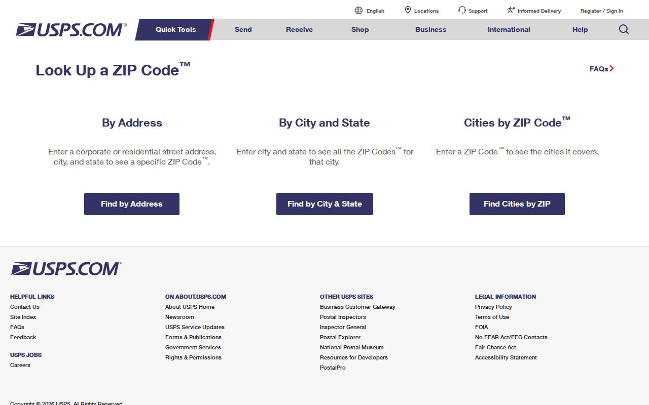
The image confirms the official lookup entry point, while the returned value still needs a parcel and city-limit check for Boise research.
Find Boise Residents by ZIP
Use a ZIP to narrow the area, then switch to the field that the local record actually accepts. Ada GIS exposes a Zip4 address-point field. Boise Accela Police search includes city, state, ZIP, country, street, unit, parcel, name, and record controls. The recorder index does not offer a ZIP filter in the inspected form, and Idaho Voter Tools is an identity check rather than a public block roll.
- Run the complete address through USPS and save the accepted mailing city and code.
- Open the Ada address and parcel layers. Compare the address point, parcel polygon, and city-limit layer.
- Use a ZIP-capable city record only for its stated purpose. A permit or police-module record shows published site activity, not current occupancy.
- When the inquiry narrows to one road, continue with the Boise street directory and search by parcel or street.
This sequence keeps postal, parcel, and person evidence apart. It also prevents a broad ZIP result from becoming an unsupported claim about a Boise resident.
Boise Postal Data Tools
The public lookup is not the only USPS source. The City State Product is a comprehensive, monthly updated product for ZIP, city, county, and post-office data. It does not map each street parcel. The AIS Viewer also updates monthly and retrieves address and city/state information.
The City State Product screen is shown below from its official source.
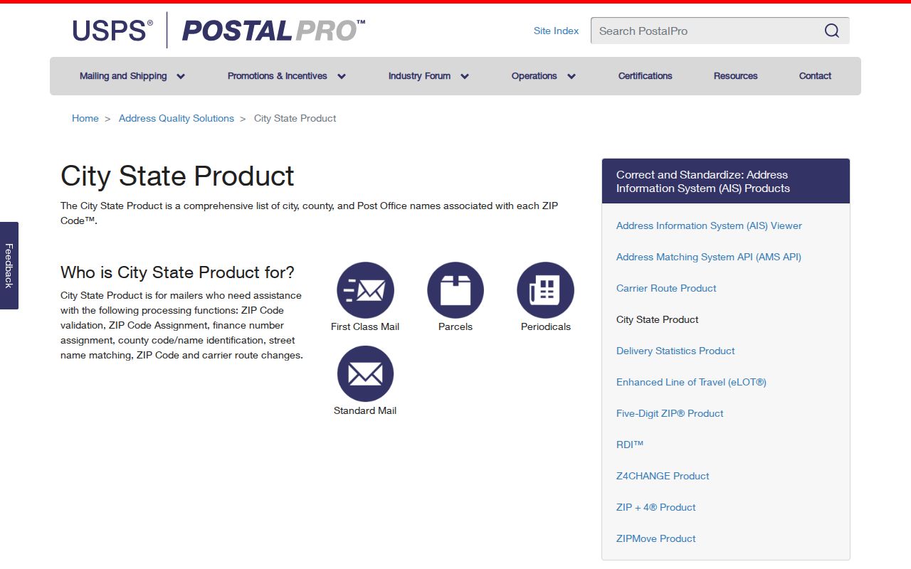
This product is suited to postal reference work, while Boise parcel questions still belong in Ada County mapping tools.
The official AIS Viewer provides a second current postal route.
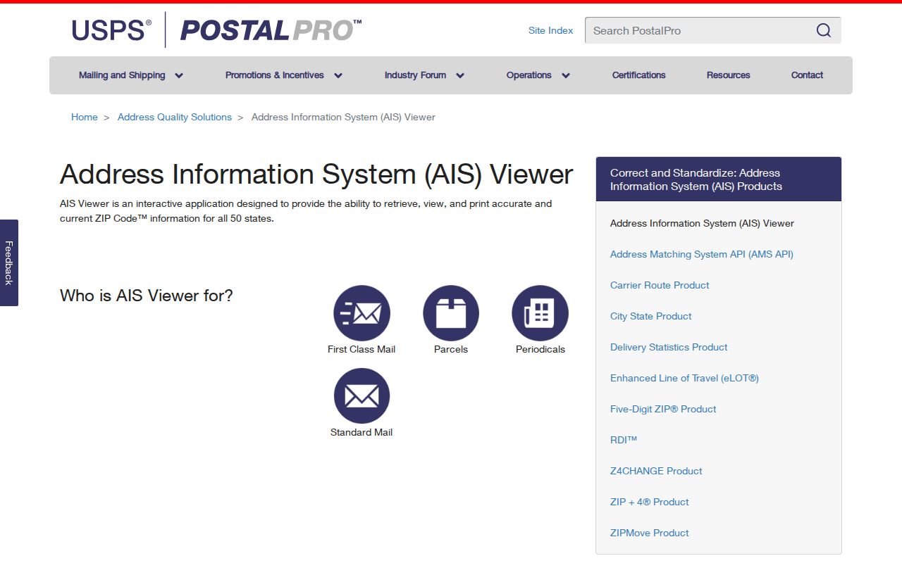
Its interface supports postal address research without turning a mailing code into a resident directory.
Boise ZIP Maps Need Labels
A shaded ZIP-like polygon often comes from the Census Bureau, not USPS. ZIP Code Tabulation Areas, called ZCTAs, are generalized statistical shapes built from 2020 Census blocks. They approximate where codes occur for tabulation. They are not live delivery boundaries, and not every valid postal code has a ZCTA.
The TIGERweb ZCTA layer exposes the polygon service used for mapping.
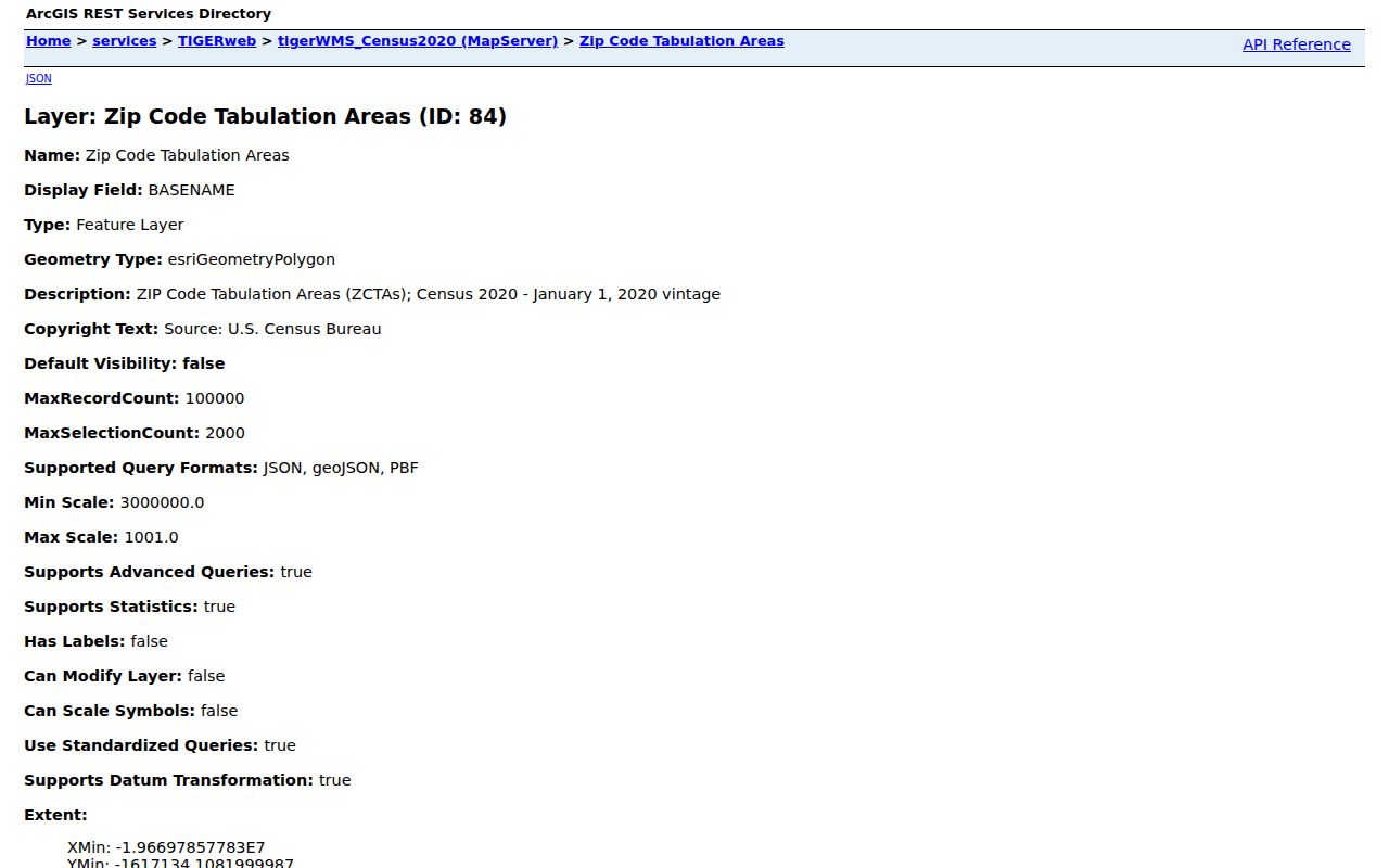
The service is useful for area comparison, but any map made from it should say “2020 ZCTA,” not “current USPS boundary.”
The Census guidance image makes the same distinction clear.
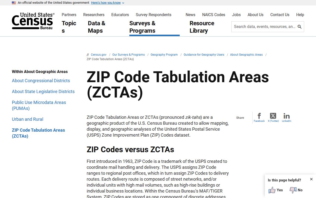
That warning matters at Boise’s edges, where a statistical shape, a postal city name, and the tax-code city line can disagree.
Boise ZIPs Versus City Limits
A Boise mailing label does not prove that a parcel is inside Boise. USPS city names route mail. Ada County’s city-limit layer is based on tax codes and is updated for annexed areas. The address layer supplies the point and Zip4 field. Compare all three before selecting a city office or calling a record “Boise.”
- ZIP
- A five-digit USPS code used to sort and deliver mail.
- ZIP+4
- The five-digit code plus four digits that narrow a delivery segment.
- PO-box ZIP
- A code used for post-office boxes rather than a residential street area.
- Unique ZIP
- A code assigned to one large organization or institution.
- Carrier route
- A group of addresses served on one postal delivery route.
Boise ZIP Operations in 2026
A July 2026 USPS bulletin identified the Boise sorting and delivery center at 770 S 13th Street, 83708. It listed a served group that included 83702–83703, 83706–83708, 83712, 83720, 83722, 83724–83726, 83728–83729, 83732, 83735, 83756, and 83799. This is a useful snapshot of postal operations.
It is not a residential coverage table. Some codes in a facility notice may be unique, institutional, operational, or otherwise unsuitable as a list of places where Boise residents live. The Boise ZIP code directory therefore keeps this timely figure separate from the city planning map and from current address results.
Historical Boise ZIP Evidence
Older USPS Domestic Mail Manual tables grouped Boise-associated codes differently. Those archived tables are useful when a dated directory, letter, or clipping carries an obsolete postal line. They are historical references only. Current USPS tools control present mailing use, and a modern code should not be added to a nineteenth-century Boise directory entry.
For older resident work, record the address exactly as printed, including rural route or former city name. Then compare the dated source with maps, city directories, and the modern parcel. A ZIP code directory can organize the modern end of that trail, but it cannot rewrite the address used in the original record.
Archived USPS tables from 2009 show several Boise groupings, including 83702/03/06/12, 83704/11/13, 83707/08, 83709/19, and 83716/17. Another archived table includes a longer Boise-associated list. These groups help interpret old mail standards, yet they do not prove that each code held residential streets inside the city. Label the table date whenever it is used.
The same care applies to Boise’s official planning map. Its labels include 83616, 83642, and 83646 along with several 837 codes because the map describes a broader community-voice area. A reader seeking one Boise resident should not turn that graphic into a complete current city list. First run USPS By Address. Next query the Ada address point. Last, inspect the tax-code city-limit polygon.
When a record request depends on geography, name the desired city or county data set instead of requesting “all residents in a ZIP.” Ada County can address parcel and GIS data. The City Clerk can route a specific municipal record request. The Secretary of State controls formal statewide voter-file requests, subject to field limits and protected addresses. These channels cannot be swapped simply because they share a postal code.
A disputed code also has an offline path. USPS address-quality products and local postal guidance are the right sources for delivery questions. For parcel geography, contact the Ada County Assessor at 190 E Front Street, Suite 107, Boise, or call 208-287-7200. If the issue is whether the parcel falls within Boise services, compare the city layer and contact the City Clerk at 208-972-8150. Each office can confirm its own record, but none should certify the other agency’s boundary.
Keep a short ZIP research log. Save the street address entered, the accepted USPS city name, the five-digit result, any ZIP+4, the Ada parcel identifier, and the city-limit finding. Add the date and source beside each value. That record makes it easy to explain why a commercial map, a Census polygon, and a city form returned different answers without assuming that any one system is broken.
Note: Postal products, GIS fields, and facility assignments change, so save the source and inspection date with every Boise ZIP result.